
Design to Dirt
A drawing becomes useful in the field when its levels, coordinates and version are understood by the people and equipment doing the work. A design may be correct while the machine follows the wrong datum or an outdated file. Resolve that transfer before soil moves.
Plan the surface handover
What to verify
Retain the issued design and the as-built check as separate records.
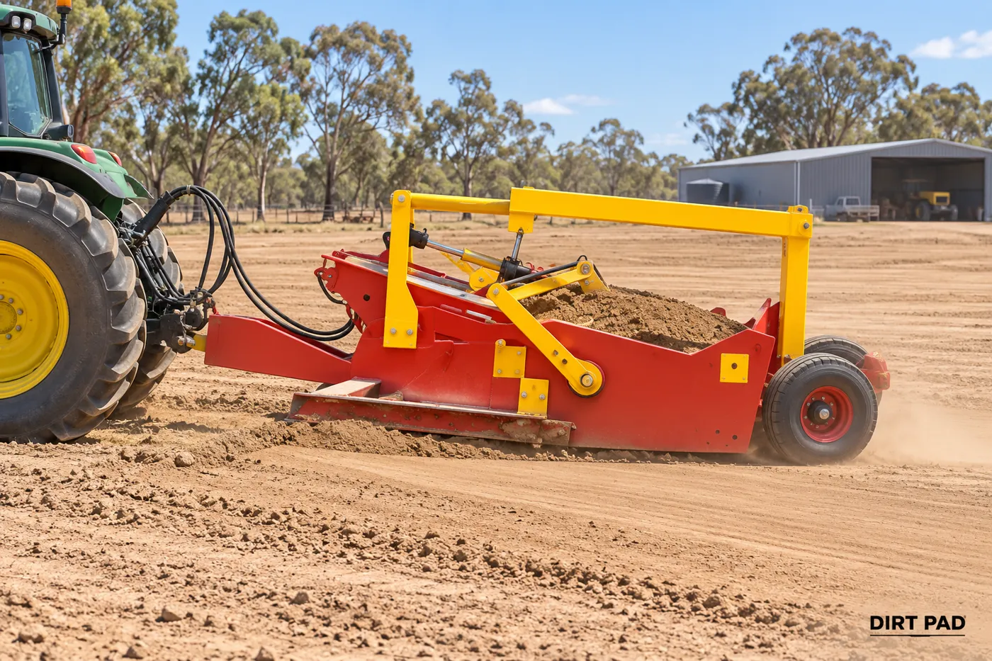
Confirm the proposed configuration, worksite conditions and intended use before deployment. Describe the function required and assess it with the complete tractor and implement combination. Concept illustrations are not confirmation of available equipment or approved loading.
Do not infer a surveyed boundary or certified design from an illustrative terrain model.
Continue the job brief
Include the location, existing condition, intended surface, material, available tractor and proposed dates.